Pontardulais Workingmen's Club
Introduction
The photograph on this page of Pontardulais Workingmen's Club by Jaggery as part of the Geograph project.
The Geograph project started in 2005 with the aim of publishing, organising and preserving representative images for every square kilometre of Great Britain, Ireland and the Isle of Man.

There are currently over 7.5m images from over 14,400 individuals and you can help contribute to the project by visiting https://www.geograph.org.uk
Pontardulais Workingmen's Club
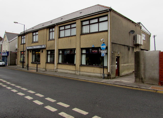
Image: © Jaggery Taken: 11 Feb 2015
The club at 13 Saint Teilo Street uses the single d spelling for the town. The spelling Pontarddulais is also widespread. I asked two locals which spelling they use for their own address. Both replied Pontardulais, though one said that he would use Pontarddulais when writing in Welsh. I do not know how representative these replies are for the town as a whole.
Images are licensed for reuse under creativecommons.org/licenses/by-sa/2.0
Image Location
Latitude
51.715842
Longitude
-4.044305