Former Ammanford Magistrates' Court
Introduction
The photograph on this page of Former Ammanford Magistrates' Court by Jaggery as part of the Geograph project.
The Geograph project started in 2005 with the aim of publishing, organising and preserving representative images for every square kilometre of Great Britain, Ireland and the Isle of Man.

There are currently over 7.5m images from over 14,400 individuals and you can help contribute to the project by visiting https://www.geograph.org.uk
Former Ammanford Magistrates' Court
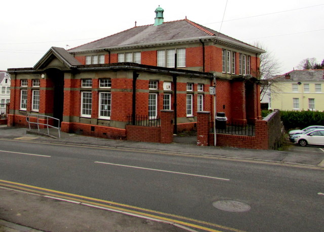
Image: © Jaggery Taken: 11 Feb 2015
Viewed across Margaret Street in February 2015 when there is no nameboard here. The nameboard in a Google Earth Street View taken in July 2011 shows Ammanford Magistrates' Court.
Images are licensed for reuse under creativecommons.org/licenses/by-sa/2.0
Image Location


Leaflet Map data © OpenStreetMap
Latitude
51.794389
Longitude
-3.989414