Newtongarry Hill
Introduction
The photograph on this page of Newtongarry Hill by Anne Burgess as part of the Geograph project.
The Geograph project started in 2005 with the aim of publishing, organising and preserving representative images for every square kilometre of Great Britain, Ireland and the Isle of Man.

There are currently over 7.5m images from over 14,400 individuals and you can help contribute to the project by visiting https://www.geograph.org.uk
Newtongarry Hill
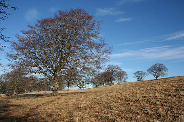
Image: © Anne Burgess Taken: 11 Feb 2015
The top of Newtongarry Hill is grassy, with occasional mature beeches, giving it almost the feel of parkland.
Images are licensed for reuse under creativecommons.org/licenses/by-sa/2.0
Image Location
Latitude
57.450553
Longitude
-2.709831