Cairn?
Introduction
The photograph on this page of Cairn? by Anne Burgess as part of the Geograph project.
The Geograph project started in 2005 with the aim of publishing, organising and preserving representative images for every square kilometre of Great Britain, Ireland and the Isle of Man.

There are currently over 7.5m images from over 14,400 individuals and you can help contribute to the project by visiting https://www.geograph.org.uk
Cairn?
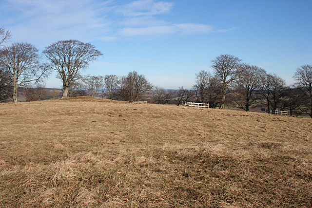
Image: © Anne Burgess Taken: 11 Feb 2015
I am standing almost on top of Image], wondering if that is the other of the two mapped cairns under the tree left of centre.
Images are licensed for reuse under creativecommons.org/licenses/by-sa/2.0
Image Location
Latitude
57.450742
Longitude
-2.708168