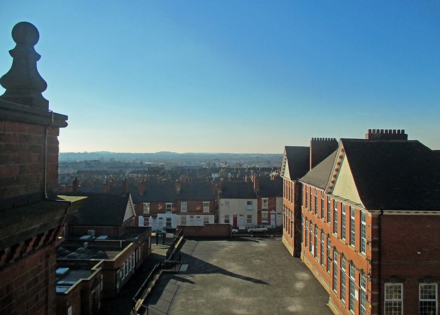
The western suburbs from Forest Fields
Introduction
The photograph on this page of The western suburbs from Forest Fields by John Sutton as part of the Geograph project.
The Geograph project started in 2005 with the aim of publishing, organising and preserving representative images for every square kilometre of Great Britain, Ireland and the Isle of Man.
There are currently over 7.5m images from over 14,400 individuals and you can help contribute to the project by visiting https://www.geograph.org.uk

Image: © John Sutton Taken: 9 Feb 2015
A view from an upper-floor window taken against the light early on a brilliant February afternoon, during a visit by former pupils of the two grammar schools which once occupied the building which is now Forest Fields Primary School. The hills around Trowell and Strelley are on the skyline, beyond the rooftops of Radford, Bilborough and Wollaton. The distinctive silhouette of Wollaton Hall shows more obviously on the skyline to the left in larger versions of this image. The building in the right foreground was known as T Block in grammar-school days. In those days there were wooden dinner huts in the playground in front of it.

