A view from the roof of Forest Fields Primary School
Introduction
The photograph on this page of A view from the roof of Forest Fields Primary School by John Sutton as part of the Geograph project.
The Geograph project started in 2005 with the aim of publishing, organising and preserving representative images for every square kilometre of Great Britain, Ireland and the Isle of Man.

There are currently over 7.5m images from over 14,400 individuals and you can help contribute to the project by visiting https://www.geograph.org.uk
A view from the roof of Forest Fields Primary School
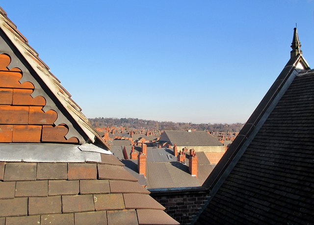
Image: © John Sutton Taken: 9 Feb 2015
A view across the rooftops of Forest Fields, Sherwood Rise and Mapperley Park, taken during a visit by former pupils of the two grammar schools which once occupied the building which is now Forest Fields Primary School. The large building a few streets away is the former Apollo Cinema, now the Jameah Fatimah mosque. For the school's Grade II listing, see http://www.britishlistedbuildings.co.uk/en-458870-clarendon-college-berridge-centre- .
Images are licensed for reuse under creativecommons.org/licenses/by-sa/2.0
Image Location
Latitude
52.970531
Longitude
-1.164757