Former railway route
Introduction
The photograph on this page of Former railway route by Robert Ashby as part of the Geograph project.
The Geograph project started in 2005 with the aim of publishing, organising and preserving representative images for every square kilometre of Great Britain, Ireland and the Isle of Man.

There are currently over 7.5m images from over 14,400 individuals and you can help contribute to the project by visiting https://www.geograph.org.uk
Former railway route
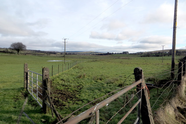
Image: © Robert Ashby Taken: 7 Feb 2015
The Ballymena & Larne narrow gauge railway ceased passenger traffic in 1933 and finally closed in 1950. This is where it passed under the Connor Road/Whapstown Road junction through a tunnel looking towards Larne, although no trace of the tunnel remains. The wire fence going across the field has nothing to do with the railway route but it follows fairly closely where the line ran. Nothing can be seen of the trackbed at this point, though on the other side of the road an overgrown cutting leading to the tunnel can just be made out, but much of the route can be traced on the satellite view.
Images are licensed for reuse under creativecommons.org/licenses/by-sa/2.0
Image Location
Latitude
54.822259
Longitude
-6.097522