View east towards Co Down across the Newry Canal and the Newry River
Introduction
The photograph on this page of View east towards Co Down across the Newry Canal and the Newry River by Eric Jones as part of the Geograph project.
The Geograph project started in 2005 with the aim of publishing, organising and preserving representative images for every square kilometre of Great Britain, Ireland and the Isle of Man.

There are currently over 7.5m images from over 14,400 individuals and you can help contribute to the project by visiting https://www.geograph.org.uk
View east towards Co Down across the Newry Canal and the Newry River
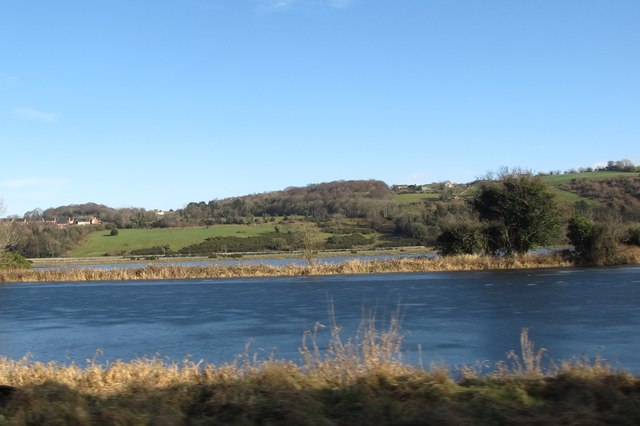
Image: © Eric Jones Taken: 4 Feb 2015
The grassy embankment separate the canal from the tidal river. Even at the highest of tides, the canal is much deeper than the river.
Images are licensed for reuse under creativecommons.org/licenses/by-sa/2.0
Image Location
Latitude
54.141525
Longitude
-6.318177