Manchester Bolton & Bury Canal pathway
Introduction
The photograph on this page of Manchester Bolton & Bury Canal pathway by Bradley Michael as part of the Geograph project.
The Geograph project started in 2005 with the aim of publishing, organising and preserving representative images for every square kilometre of Great Britain, Ireland and the Isle of Man.

There are currently over 7.5m images from over 14,400 individuals and you can help contribute to the project by visiting https://www.geograph.org.uk
Manchester Bolton & Bury Canal pathway
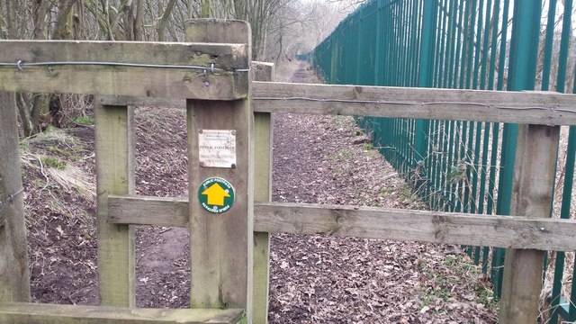
Image: © Bradley Michael Taken: 10 Feb 2015
This public footpath runs from the end of Fold Road to Red Rock Lane. United Utilities' water treatment plant is fenced off on the right hand side of the path. The route follows the plant around before heading through the garden of a house.
Images are licensed for reuse under creativecommons.org/licenses/by-sa/2.0
Image Location
Latitude
53.541841
Longitude
-2.353068