Glebe Farm along Whitwick Road
Introduction
The photograph on this page of Glebe Farm along Whitwick Road by Mat Fascione as part of the Geograph project.
The Geograph project started in 2005 with the aim of publishing, organising and preserving representative images for every square kilometre of Great Britain, Ireland and the Isle of Man.

There are currently over 7.5m images from over 14,400 individuals and you can help contribute to the project by visiting https://www.geograph.org.uk
Glebe Farm along Whitwick Road
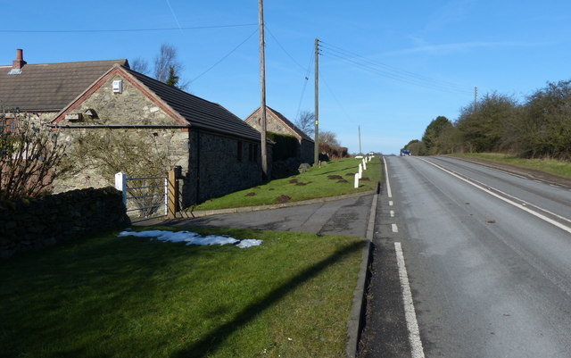
Image: © Mat Fascione Taken: 8 Feb 2015
The road is heading north towards Copt Oak.
Images are licensed for reuse under creativecommons.org/licenses/by-sa/2.0
Image Location
Latitude
52.707933
Longitude
-1.287299