Field near Penkelly
Introduction
The photograph on this page of Field near Penkelly by Derek Harper as part of the Geograph project.
The Geograph project started in 2005 with the aim of publishing, organising and preserving representative images for every square kilometre of Great Britain, Ireland and the Isle of Man.

There are currently over 7.5m images from over 14,400 individuals and you can help contribute to the project by visiting https://www.geograph.org.uk
Field near Penkelly
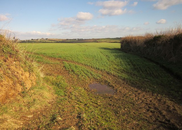
Image: © Derek Harper Taken: 4 Feb 2015
From footpath 621 17/3, as it bends around the southeastern corner of the field from which this was taken. I think one can assume these are Cornish hedges.
Images are licensed for reuse under creativecommons.org/licenses/by-sa/2.0
Image Location


Leaflet Map data © OpenStreetMap
Latitude
50.357847
Longitude
-4.545234