Public footpath above Lanreath
Introduction
The photograph on this page of Public footpath above Lanreath by Kate Jewell as part of the Geograph project.
The Geograph project started in 2005 with the aim of publishing, organising and preserving representative images for every square kilometre of Great Britain, Ireland and the Isle of Man.

There are currently over 7.5m images from over 14,400 individuals and you can help contribute to the project by visiting https://www.geograph.org.uk
Public footpath above Lanreath
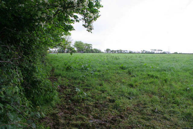
Image: © Kate Jewell Taken: 13 May 2007
The footpaths aren't very well marked in this area and one has to rely on one's map reading skills. The path cuts across this field due north. The only concession to walkers is four slate steps set in the hedge bank to gain access from the road but you still have to climb over a fence without the help of a stile.
Images are licensed for reuse under creativecommons.org/licenses/by-sa/2.0
Image Location


Leaflet Map data © OpenStreetMap
Latitude
50.386282
Longitude
-4.557027