Highfields Farm
Introduction
The photograph on this page of Highfields Farm by George Rankin as part of the Geograph project.
The Geograph project started in 2005 with the aim of publishing, organising and preserving representative images for every square kilometre of Great Britain, Ireland and the Isle of Man.

There are currently over 7.5m images from over 14,400 individuals and you can help contribute to the project by visiting https://www.geograph.org.uk
Highfields Farm
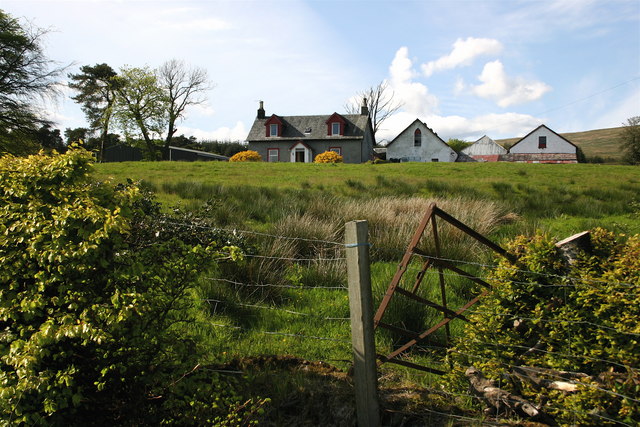
Image: © George Rankin Taken: 15 May 2007
View of Highfields Farm in Glen Fruin, the road is single track most of the way between the Crosskeys Roundabout and Faslane Naval Base.
Images are licensed for reuse under creativecommons.org/licenses/by-sa/2.0
Image Location
Latitude
56.032996
Longitude
-4.682458