The Arms
Introduction
The photograph on this page of The Arms by Stephen McKay as part of the Geograph project.
The Geograph project started in 2005 with the aim of publishing, organising and preserving representative images for every square kilometre of Great Britain, Ireland and the Isle of Man.

There are currently over 7.5m images from over 14,400 individuals and you can help contribute to the project by visiting https://www.geograph.org.uk
The Arms
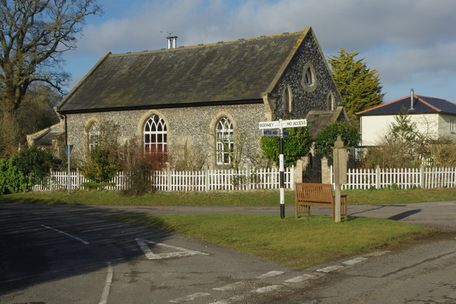
Image: © Stephen McKay Taken: 8 Feb 2015
The Arms is a hamlet within the parish of Little Cressingham and Threxton; its curious name appears to derive from a pub which was once here - the Cressingham Arms. There is nothing much here now except a parish notice case and a bench for the weary; even the old methodist chapel has become a private residence. It is more or less surrounded on three sides by the vast Stanford battle area - land used by the Army as a training ground since the Second World War - giving the small settlement an isolated end of the road feel.
Images are licensed for reuse under creativecommons.org/licenses/by-sa/2.0
Image Location
Latitude
52.548307
Longitude
0.762277