Cherry Lane, Mansfield, Notts.
Introduction
The photograph on this page of Cherry Lane, Mansfield, Notts. by David Hallam-Jones as part of the Geograph project.
The Geograph project started in 2005 with the aim of publishing, organising and preserving representative images for every square kilometre of Great Britain, Ireland and the Isle of Man.

There are currently over 7.5m images from over 14,400 individuals and you can help contribute to the project by visiting https://www.geograph.org.uk
Cherry Lane, Mansfield, Notts.
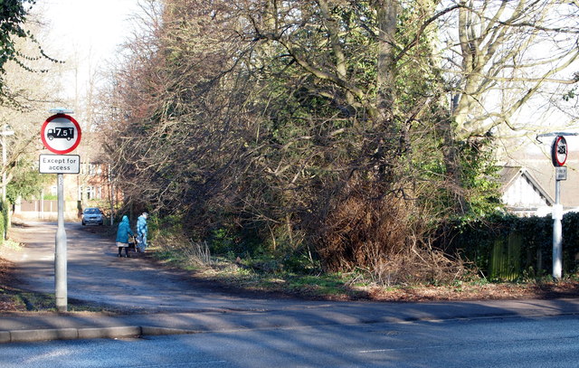
Image: © David Hallam-Jones Taken: 8 Feb 2015
This unmade (and perhaps unadopted?) road links Atkin Lane - behind the photographer - with High Oakham Road ahead - beyond the parked car.
Images are licensed for reuse under creativecommons.org/licenses/by-sa/2.0
Image Location
Latitude
53.129341
Longitude
-1.199344