High Oakham Drive, Mansfield, Notts.
Introduction
The photograph on this page of High Oakham Drive, Mansfield, Notts. by David Hallam-Jones as part of the Geograph project.
The Geograph project started in 2005 with the aim of publishing, organising and preserving representative images for every square kilometre of Great Britain, Ireland and the Isle of Man.

There are currently over 7.5m images from over 14,400 individuals and you can help contribute to the project by visiting https://www.geograph.org.uk
High Oakham Drive, Mansfield, Notts.
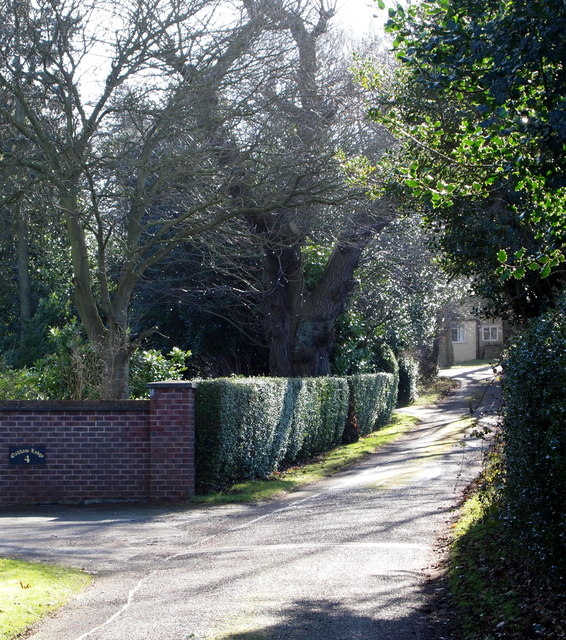
Image: © David Hallam-Jones Taken: 8 Feb 2015
A former farm (?), High Oakham House, is just visible at the closed end of this cul-de-sac. A street name sign describing it's status as a "private road" (perhaps unadopted?) is situated at the side of the road near where it commences in Atkin Lane.
Images are licensed for reuse under creativecommons.org/licenses/by-sa/2.0
Image Location
Latitude
53.126465
Longitude
-1.199397