
Garforth Cliff
Introduction
The photograph on this page of Garforth Cliff by Rude Health as part of the Geograph project.
The Geograph project started in 2005 with the aim of publishing, organising and preserving representative images for every square kilometre of Great Britain, Ireland and the Isle of Man.

There are currently over 7.5m images from over 14,400 individuals and you can help contribute to the project by visiting https://www.geograph.org.uk
Garforth Cliff
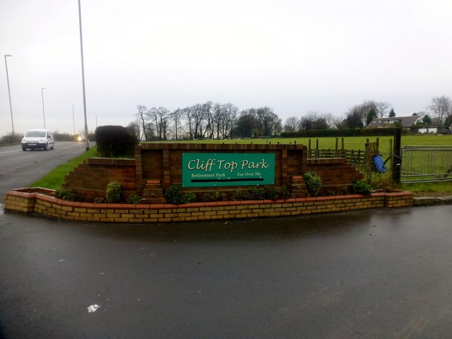
Image: © Rude Health Taken: 23 Nov 2014
Bagged the highpoint just off the A63 near the over 50s retirement home called Cliff Top Park then bagged the trig behind the water tower with Martin Richardson. Name: Garforth Cliff Hill number: 16482 Height: 104m / 341ft Parent (Ma/M): 2804 Rombald's Moor [Ilkley Moor] Section: 35B: The Central Pennines County/UA: Leeds (UA) Class: Tump (100-199m) Grid ref: SE416319 (est) Drop: 37m Col: 67m SE398337
Images are licensed for reuse under creativecommons.org/licenses/by-sa/2.0
Image Location

Latitude
53.781142
Longitude
-1.369864