Roundabout sign, Ballygowan (February 2015)
Introduction
The photograph on this page of Roundabout sign, Ballygowan (February 2015) by Albert Bridge as part of the Geograph project.
The Geograph project started in 2005 with the aim of publishing, organising and preserving representative images for every square kilometre of Great Britain, Ireland and the Isle of Man.

There are currently over 7.5m images from over 14,400 individuals and you can help contribute to the project by visiting https://www.geograph.org.uk
Roundabout sign, Ballygowan (February 2015)
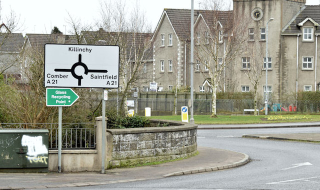
Image: © Albert Bridge Taken: 9 Feb 2015
Cast your mind back to those geography lessons when you were told that a crossroads was one of the reasons why a town developed on a particular site. Banbridge and Ballygowan have always struck me as being the two classic examples in Co Down. The main road here was from Bangor, Newtownards and Comber to the county town at Downpatrick (via Saintfield). The flow of traffic over the crossroads is now controlled by a roundabout. The sign has a white background indicating that the roads, although classified “A”, are not primary ones. See also Image (October 2009).
Images are licensed for reuse under creativecommons.org/licenses/by-sa/2.0
Image Location
Latitude
54.502332
Longitude
-5.792069