Footpath T junction, Boreham
Introduction
The photograph on this page of Footpath T junction, Boreham by Roger Jones as part of the Geograph project.
The Geograph project started in 2005 with the aim of publishing, organising and preserving representative images for every square kilometre of Great Britain, Ireland and the Isle of Man.

There are currently over 7.5m images from over 14,400 individuals and you can help contribute to the project by visiting https://www.geograph.org.uk
Footpath T junction, Boreham
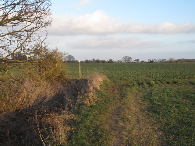
Image: © Roger Jones Taken: 8 Feb 2015
The marker post marks the junction of these 2 public footpaths running through arable land. Behind the photographer is Image, and to the right (south) is Image
Images are licensed for reuse under creativecommons.org/licenses/by-sa/2.0
Image Location


Leaflet Map data © OpenStreetMap
Latitude
51.762266
Longitude
0.549666