Right turn for the Dare Valley
Introduction
The photograph on this page of Right turn for the Dare Valley by Jaggery as part of the Geograph project.
The Geograph project started in 2005 with the aim of publishing, organising and preserving representative images for every square kilometre of Great Britain, Ireland and the Isle of Man.

There are currently over 7.5m images from over 14,400 individuals and you can help contribute to the project by visiting https://www.geograph.org.uk
Right turn for the Dare Valley
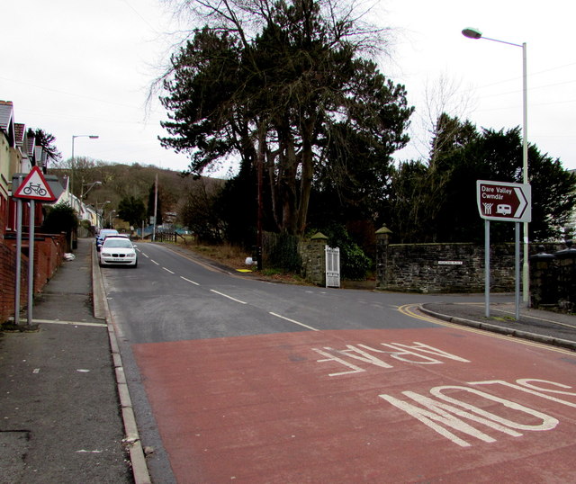
Image: © Jaggery Taken: 5 Feb 2015
Viewed across the A4233 Monk Street. A white arrow on a brown sign points right along Highland Place towards the Dare Valley (Cwmdâr in Welsh).
Images are licensed for reuse under creativecommons.org/licenses/by-sa/2.0
Image Location
Latitude
51.709675
Longitude
-3.449281