Old Southampton Road
Introduction
The photograph on this page of Old Southampton Road by Robin Webster as part of the Geograph project.
The Geograph project started in 2005 with the aim of publishing, organising and preserving representative images for every square kilometre of Great Britain, Ireland and the Isle of Man.

There are currently over 7.5m images from over 14,400 individuals and you can help contribute to the project by visiting https://www.geograph.org.uk
Old Southampton Road
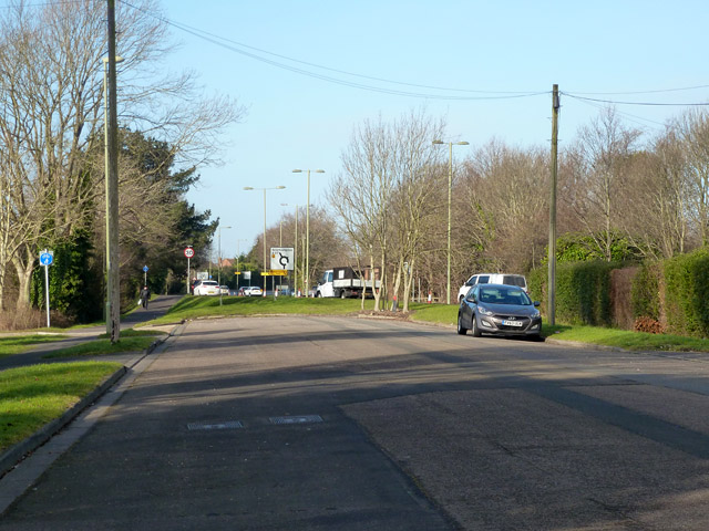
Image: © Robin Webster Taken: 8 Feb 2015
Now a dead-end, bypassed by a new alignment of the A27, the postal addresses and street name are still 'Southampton Road'.
Images are licensed for reuse under creativecommons.org/licenses/by-sa/2.0
Image Location
Latitude
50.869067
Longitude
-1.259987