Sydney Road, Haywards Heath
Introduction
The photograph on this page of Sydney Road, Haywards Heath by Simon Carey as part of the Geograph project.
The Geograph project started in 2005 with the aim of publishing, organising and preserving representative images for every square kilometre of Great Britain, Ireland and the Isle of Man.

There are currently over 7.5m images from over 14,400 individuals and you can help contribute to the project by visiting https://www.geograph.org.uk
Sydney Road, Haywards Heath
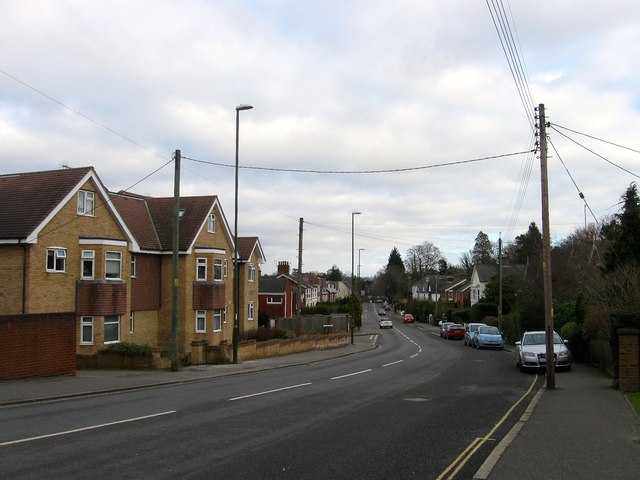
Image: © Simon Carey Taken: 1 Feb 2015
The B2028 heading east from Commercial Square to the junction with the B2112. Built sometime in the 1860s to connect Haywards Heath station to the road across the heath to Lindfield and as such a number of mid-Victorian villas began to appear along the route particularly on the southern side. Much of the northern side was completed between the wars.
Images are licensed for reuse under creativecommons.org/licenses/by-sa/2.0
Image Location
Latitude
51.006287
Longitude
-0.09814