Queens Road, Haywards Heath
Introduction
The photograph on this page of Queens Road, Haywards Heath by Simon Carey as part of the Geograph project.
The Geograph project started in 2005 with the aim of publishing, organising and preserving representative images for every square kilometre of Great Britain, Ireland and the Isle of Man.

There are currently over 7.5m images from over 14,400 individuals and you can help contribute to the project by visiting https://www.geograph.org.uk
Queens Road, Haywards Heath
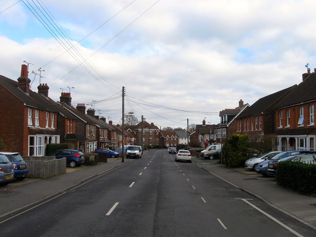
Image: © Simon Carey Taken: 1 Feb 2015
Built along with Image and Image in the first decade of the 20th century and running between Commercial Square and the junction of the B2028 and B2112 to the east.
Images are licensed for reuse under creativecommons.org/licenses/by-sa/2.0
Image Location
Latitude
51.007282
Longitude
-0.098527