Hulme's Bridge Ferry.
Introduction
The photograph on this page of Hulme's Bridge Ferry. by Keith Williamson as part of the Geograph project.
The Geograph project started in 2005 with the aim of publishing, organising and preserving representative images for every square kilometre of Great Britain, Ireland and the Isle of Man.

There are currently over 7.5m images from over 14,400 individuals and you can help contribute to the project by visiting https://www.geograph.org.uk
Hulme's Bridge Ferry.
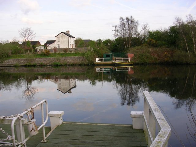
Image: © Keith Williamson Taken: 13 Apr 2005
This ferry is on the Manchester Ship Canal and connects Irlam, on the north bank, with Flixton to the south. It is still operational and is a free ferry. It replaced a bridge crossing the River Irwell, which was canalised during the construction of the canal in the 1890s. I believe it still operates because an Act of Parliament requires it. Taken from SJ737958.
Images are licensed for reuse under creativecommons.org/licenses/by-sa/2.0
Image Location


Leaflet Map data © OpenStreetMap
Latitude
53.458288
Longitude
-2.397555