Up towards the village, Penywaun
Introduction
The photograph on this page of Up towards the village, Penywaun by Jaggery as part of the Geograph project.
The Geograph project started in 2005 with the aim of publishing, organising and preserving representative images for every square kilometre of Great Britain, Ireland and the Isle of Man.

There are currently over 7.5m images from over 14,400 individuals and you can help contribute to the project by visiting https://www.geograph.org.uk
Up towards the village, Penywaun
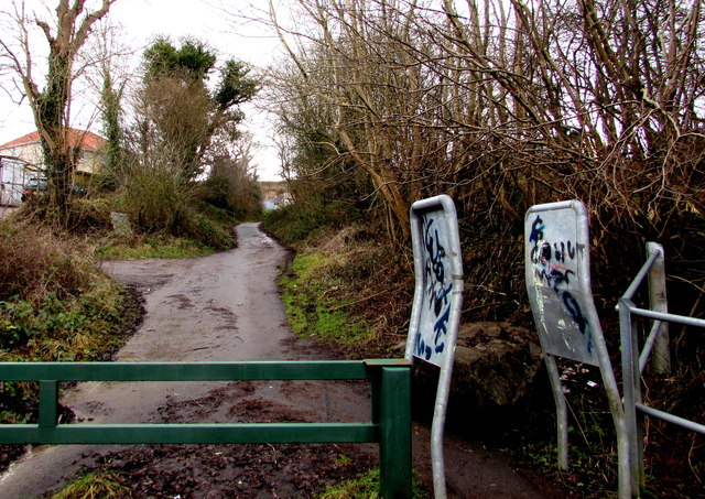
Image: © Jaggery Taken: 31 Jan 2015
Viewed from the barrier http://www.geograph.org.uk/photo/4338782 alongside a riverside footpath and cycleway at the northern edge of Penywaun. The road ascends towards houses in the street named Dan-yr-Heol.
Images are licensed for reuse under creativecommons.org/licenses/by-sa/2.0
Image Location
Latitude
51.732938
Longitude
-3.480146