Riverside route from Penywaun to Hirwaun
Introduction
The photograph on this page of Riverside route from Penywaun to Hirwaun by Jaggery as part of the Geograph project.
The Geograph project started in 2005 with the aim of publishing, organising and preserving representative images for every square kilometre of Great Britain, Ireland and the Isle of Man.

There are currently over 7.5m images from over 14,400 individuals and you can help contribute to the project by visiting https://www.geograph.org.uk
Riverside route from Penywaun to Hirwaun
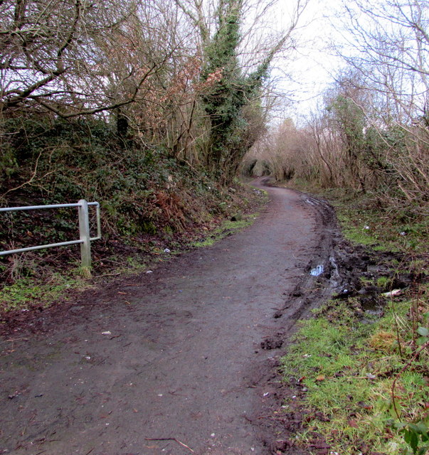
Image: © Jaggery Taken: 31 Jan 2015
Footpath and cycleway on the south bank of the Afon Cynon. A nearby sign shows 1½ miles to Hirwaun, 7 to Glynneath.
Images are licensed for reuse under creativecommons.org/licenses/by-sa/2.0
Image Location
Latitude
51.73374
Longitude
-3.480751