Demolition site by Heygate Street, Heygate Estate
Introduction
The photograph on this page of Demolition site by Heygate Street, Heygate Estate by Robin Stott as part of the Geograph project.
The Geograph project started in 2005 with the aim of publishing, organising and preserving representative images for every square kilometre of Great Britain, Ireland and the Isle of Man.

There are currently over 7.5m images from over 14,400 individuals and you can help contribute to the project by visiting https://www.geograph.org.uk
Demolition site by Heygate Street, Heygate Estate
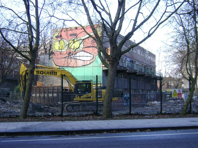
Image: © Robin Stott Taken: 8 Feb 2014
The Heygate Estate, completed 1974, is being demolished and redeveloped. http://en.wikipedia.org/wiki/Heygate_Estate http://www.newstatesman.com/politics/2013/11/look-heygate-estate-whats-wrong-londons-housing
Images are licensed for reuse under creativecommons.org/licenses/by-sa/2.0
Image Location
Latitude
51.492936
Longitude
-0.095242