A9, Cairnie Moor
Introduction
The photograph on this page of A9, Cairnie Moor by Richard Webb as part of the Geograph project.
The Geograph project started in 2005 with the aim of publishing, organising and preserving representative images for every square kilometre of Great Britain, Ireland and the Isle of Man.

There are currently over 7.5m images from over 14,400 individuals and you can help contribute to the project by visiting https://www.geograph.org.uk
A9, Cairnie Moor
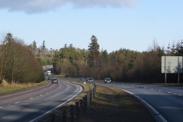
Image: © Richard Webb Taken: 1 Feb 2015
The dual carriageway on the top of the Gask Ridge and running through an extensive area of woodland. The road links several minor roads, but no attempt has been made to provide a safe passage for non motorised traffic, save for the wide verges which are easy to walk. There are no shoulders or pathways. You would never need to be on the road for long, but to access roads the minor road system or cross the A9 you will have to use it. Sometimes the old road is available, but in at least one place the locals have made a lot of effort to discourage its use.
Images are licensed for reuse under creativecommons.org/licenses/by-sa/2.0
Image Location
Latitude
56.359806
Longitude
-3.558744