Monk Street SW of Mary Street, Aberdare
Introduction
The photograph on this page of Monk Street SW of Mary Street, Aberdare by Jaggery as part of the Geograph project.
The Geograph project started in 2005 with the aim of publishing, organising and preserving representative images for every square kilometre of Great Britain, Ireland and the Isle of Man.

There are currently over 7.5m images from over 14,400 individuals and you can help contribute to the project by visiting https://www.geograph.org.uk
Monk Street SW of Mary Street, Aberdare
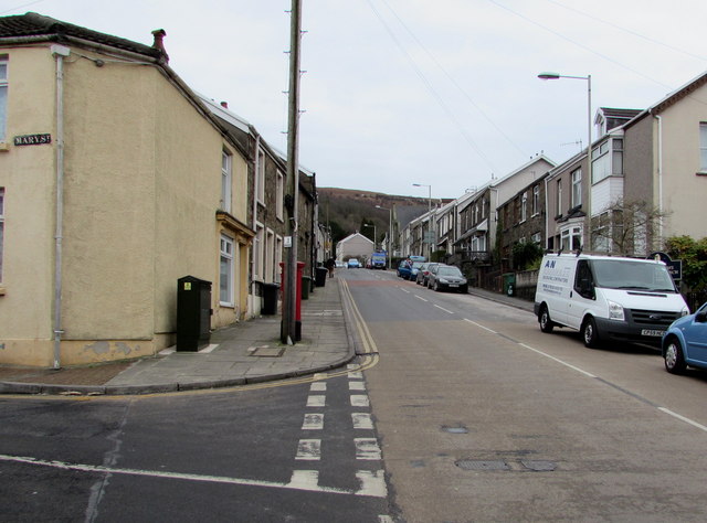
Image: © Jaggery Taken: 5 Feb 2015
Heading away from the centre of Aberdare, the A4233 Monk Street ascends past the Mary Street junction.
Images are licensed for reuse under creativecommons.org/licenses/by-sa/2.0
Image Location
Latitude
51.710672
Longitude
-3.448589