The A3026, Ludgershall
Introduction
The photograph on this page of The A3026, Ludgershall by Andrew Smith as part of the Geograph project.
The Geograph project started in 2005 with the aim of publishing, organising and preserving representative images for every square kilometre of Great Britain, Ireland and the Isle of Man.

There are currently over 7.5m images from over 14,400 individuals and you can help contribute to the project by visiting https://www.geograph.org.uk
The A3026, Ludgershall
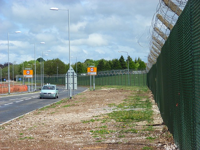
Image: © Andrew Smith Taken: 7 May 2007
Tidworth Road and the perimeter fence of Corunna Barracks.
Images are licensed for reuse under creativecommons.org/licenses/by-sa/2.0
Image Location
Latitude
51.252193
Longitude
-1.633138