Country road, Ludgershall
Introduction
The photograph on this page of Country road, Ludgershall by Andrew Smith as part of the Geograph project.
The Geograph project started in 2005 with the aim of publishing, organising and preserving representative images for every square kilometre of Great Britain, Ireland and the Isle of Man.

There are currently over 7.5m images from over 14,400 individuals and you can help contribute to the project by visiting https://www.geograph.org.uk
Country road, Ludgershall
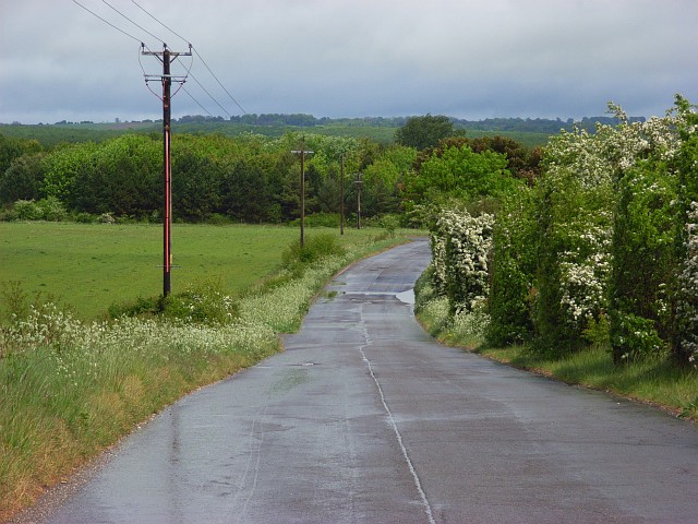
Image: © Andrew Smith Taken: 7 May 2007
East of Sweetapple Farm heading towards the depots near the junction with the A342. The open grasslands of Salisbury Plain start here. School playing fields are behind the hawthorns.
Images are licensed for reuse under creativecommons.org/licenses/by-sa/2.0
Image Location


Leaflet Map data © OpenStreetMap
Latitude
51.253115
Longitude
-1.640295