Site of Former Power Station, Holme Road, Higher Penwortham
Introduction
The photograph on this page of Site of Former Power Station, Holme Road, Higher Penwortham by David Dixon as part of the Geograph project.
The Geograph project started in 2005 with the aim of publishing, organising and preserving representative images for every square kilometre of Great Britain, Ireland and the Isle of Man.

There are currently over 7.5m images from over 14,400 individuals and you can help contribute to the project by visiting https://www.geograph.org.uk
Site of Former Power Station, Holme Road, Higher Penwortham
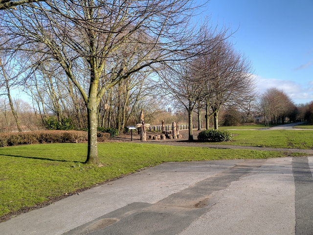
Image: © David Dixon Taken: 4 Feb 2015
As part of South Ribble Council’s “Ribble Gateway” scheme, the site of the former Ribble Generating Station, a coal-fired power station on the riverbank at Priory Park, off Holme Road in Higher Penwortham, has been transformed into a nature park. Environmental charity Groundwork trimmed back bushes on the riverbank and installed information boards, which tell visitors about the local wildlife habitats and the history of the power station which opened in 1925 and supplied electricity to a large area of Lancashire until the early 1980s when it was decommissioned and subsequently demolished. A group of wooden carvings showing some of the local wildlife has also been installed.
Images are licensed for reuse under creativecommons.org/licenses/by-sa/2.0
Image Location
Latitude
53.757214
Longitude
-2.72814