Ribble Way, Higher Penwortham
Introduction
The photograph on this page of Ribble Way, Higher Penwortham by David Dixon as part of the Geograph project.
The Geograph project started in 2005 with the aim of publishing, organising and preserving representative images for every square kilometre of Great Britain, Ireland and the Isle of Man.

There are currently over 7.5m images from over 14,400 individuals and you can help contribute to the project by visiting https://www.geograph.org.uk
Ribble Way, Higher Penwortham
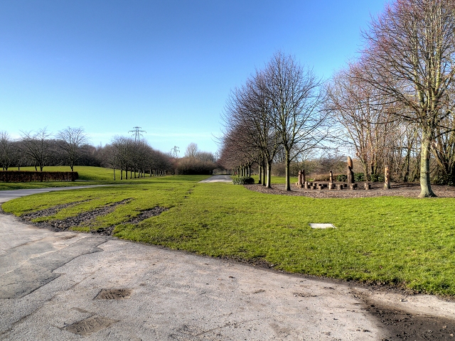
Image: © David Dixon Taken: 4 Feb 2015
The site of the former Ribble Generating Station, a coal-fired power station on the riverbank at Priory Park, off Holme Road in Higher Penwortham. The power station, which opened in 1925, supplied electricity to a large area of Lancashire until the early 1980s when it was decommissioned and subsequently demolished.
Images are licensed for reuse under creativecommons.org/licenses/by-sa/2.0
Image Location
Latitude
53.757212
Longitude
-2.728443