Brookbank Road, SE13
Introduction
The photograph on this page of Brookbank Road, SE13 by Robin Webster as part of the Geograph project.
The Geograph project started in 2005 with the aim of publishing, organising and preserving representative images for every square kilometre of Great Britain, Ireland and the Isle of Man.

There are currently over 7.5m images from over 14,400 individuals and you can help contribute to the project by visiting https://www.geograph.org.uk
Brookbank Road, SE13
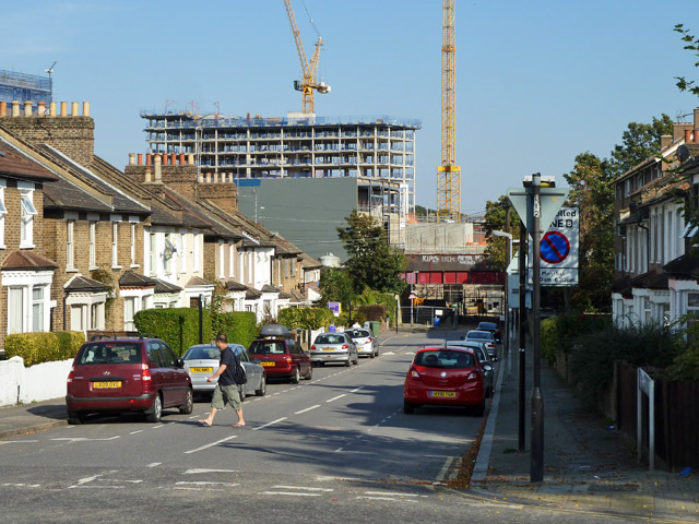
Image: © Robin Webster Taken: 1 Oct 2011
Looking down the road towards the railway bridge, at which the road is permanently blocked as the area beyond is being redeveloped.
Images are licensed for reuse under creativecommons.org/licenses/by-sa/2.0
Image Location
Latitude
51.463405
Longitude
-0.017147