Reaching the A35 ring road, Dorchester
Introduction
The photograph on this page of Reaching the A35 ring road, Dorchester by Becky Williamson as part of the Geograph project.
The Geograph project started in 2005 with the aim of publishing, organising and preserving representative images for every square kilometre of Great Britain, Ireland and the Isle of Man.

There are currently over 7.5m images from over 14,400 individuals and you can help contribute to the project by visiting https://www.geograph.org.uk
Reaching the A35 ring road, Dorchester
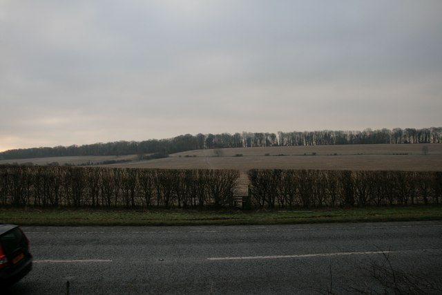
Image: © Becky Williamson Taken: 6 Feb 2015
The footpath across the fields to the North Plantation can be seen in the distance.
Images are licensed for reuse under creativecommons.org/licenses/by-sa/2.0
Image Location
Latitude
50.704453
Longitude
-2.42492