Dove House Farm
Introduction
The photograph on this page of Dove House Farm by Richard Law as part of the Geograph project.
The Geograph project started in 2005 with the aim of publishing, organising and preserving representative images for every square kilometre of Great Britain, Ireland and the Isle of Man.

There are currently over 7.5m images from over 14,400 individuals and you can help contribute to the project by visiting https://www.geograph.org.uk
Dove House Farm
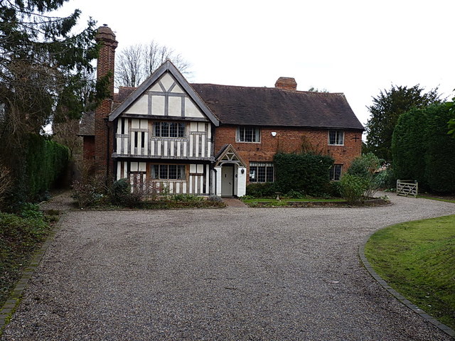
Image: © Richard Law Taken: 27 Jan 2015
The original building in the area, which can presumably say, with some justification "I remember when all this were fields around here". It holds a Grade II* listed status as described at http://www.britishlistedbuildings.co.uk/en-218246-dovehouse-farmhouse- and dates from around 1500.
Images are licensed for reuse under creativecommons.org/licenses/by-sa/2.0
Image Location
Latitude
52.431302
Longitude
-1.794928