Main London - Dover line, east of Lewisham
Introduction
The photograph on this page of Main London - Dover line, east of Lewisham by Robin Webster as part of the Geograph project.
The Geograph project started in 2005 with the aim of publishing, organising and preserving representative images for every square kilometre of Great Britain, Ireland and the Isle of Man.

There are currently over 7.5m images from over 14,400 individuals and you can help contribute to the project by visiting https://www.geograph.org.uk
Main London - Dover line, east of Lewisham
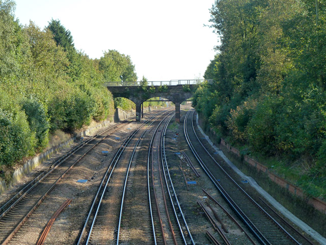
Image: © Robin Webster Taken: 1 Oct 2011
Looking towards Dover from the Courthill Road bridge. The next bridge along is bollarded off to vehicles, except possibly two-wheelers.
Images are licensed for reuse under creativecommons.org/licenses/by-sa/2.0
Image Location
Latitude
51.455586
Longitude
-0.006834