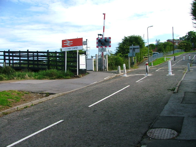
Gypsy Lane Crossing
Introduction
The photograph on this page of Gypsy Lane Crossing by Mick Garratt as part of the Geograph project.
The Geograph project started in 2005 with the aim of publishing, organising and preserving representative images for every square kilometre of Great Britain, Ireland and the Isle of Man.
There are currently over 7.5m images from over 14,400 individuals and you can help contribute to the project by visiting https://www.geograph.org.uk

Image: © Mick Garratt Taken: 26 Aug 2005
This crossing was the cause of a lot of controversy before it was closed to traffic. Some residents of Gypsy Lane had complained about the road being used as a rat run. Others then objected to having to make a two mile detour. The Gypsy lane residents won. The railway marks the parish boundary between Nunthorpe and Ormesby and these parishes spelt the name Gypsy Lane differently. The Ormesby side spelt it with an 'i': Gipsy Lane. Officialdom has now caused this little peculiarity to be consigned to history.
Image Location


