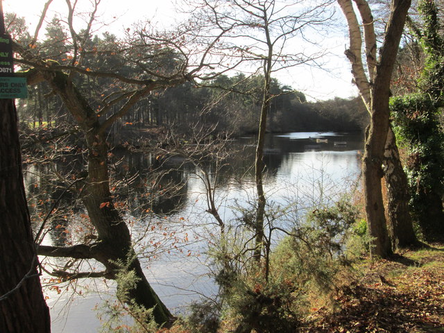
Stockbridge Pond between trees
Introduction
The photograph on this page of Stockbridge Pond between trees by Peter S as part of the Geograph project.
The Geograph project started in 2005 with the aim of publishing, organising and preserving representative images for every square kilometre of Great Britain, Ireland and the Isle of Man.
There are currently over 7.5m images from over 14,400 individuals and you can help contribute to the project by visiting https://www.geograph.org.uk

Image: © Peter S Taken: 20 Dec 2014
There is no public access to the pond as it belongs to Farnham Angling Society (FAS) and is on private land. However, there is a public footpath to the north which provides views of the water. Despite the size of the surface area, the pond has a maximum depth of just four feet – information gleaned from the FAS website.

