The ruins at Waverley Abbey
Introduction
The photograph on this page of The ruins at Waverley Abbey by Peter S as part of the Geograph project.
The Geograph project started in 2005 with the aim of publishing, organising and preserving representative images for every square kilometre of Great Britain, Ireland and the Isle of Man.

There are currently over 7.5m images from over 14,400 individuals and you can help contribute to the project by visiting https://www.geograph.org.uk
The ruins at Waverley Abbey
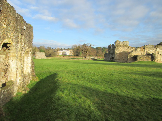
Image: © Peter S Taken: 20 Dec 2014
According to Wikipedia, Waverley Abbey House, the ruins of the abbey and the surrounding land are all part of a conservation area. The house is a Grade II* Listed building and the ruins a Scheduled Ancient Monument. The ruins of the abbey are currently managed by English Heritage and are open to the public.
Images are licensed for reuse under creativecommons.org/licenses/by-sa/2.0
Image Location


Leaflet Map data © OpenStreetMap
Latitude
51.201343
Longitude
-0.761156