The M1 northbound, Colindale
Introduction
The photograph on this page of The M1 northbound, Colindale by David Howard as part of the Geograph project.
The Geograph project started in 2005 with the aim of publishing, organising and preserving representative images for every square kilometre of Great Britain, Ireland and the Isle of Man.

There are currently over 7.5m images from over 14,400 individuals and you can help contribute to the project by visiting https://www.geograph.org.uk
The M1 northbound, Colindale
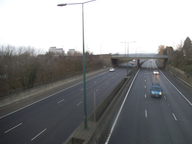
Image: © David Howard Taken: 4 Feb 2015
I can also see the three towers from my house. Looking towards Colindeep Lane, the other name for Colindale. Colindale was also the name for the local telephone exchange before it became 205 in 1967. It was also our phone number until 1965.
Images are licensed for reuse under creativecommons.org/licenses/by-sa/2.0
Image Location
Latitude
51.587252
Longitude
-0.238108