Dovehouse Lane at the junction with Ulverley Green Road
Introduction
The photograph on this page of Dovehouse Lane at the junction with Ulverley Green Road by Richard Law as part of the Geograph project.
The Geograph project started in 2005 with the aim of publishing, organising and preserving representative images for every square kilometre of Great Britain, Ireland and the Isle of Man.

There are currently over 7.5m images from over 14,400 individuals and you can help contribute to the project by visiting https://www.geograph.org.uk
Dovehouse Lane at the junction with Ulverley Green Road
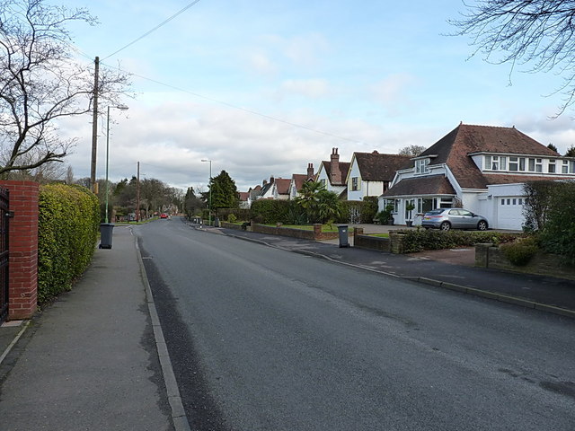
Image: © Richard Law Taken: 27 Jan 2015
Extensive housing developments (1950s or 60s, by the look of them) to the northwest of Solihull town.
Images are licensed for reuse under creativecommons.org/licenses/by-sa/2.0
Image Location
Latitude
52.432463
Longitude
-1.79051