Foreshore at South Inch
Introduction
The photograph on this page of Foreshore at South Inch by Gordon Brown as part of the Geograph project.
The Geograph project started in 2005 with the aim of publishing, organising and preserving representative images for every square kilometre of Great Britain, Ireland and the Isle of Man.

There are currently over 7.5m images from over 14,400 individuals and you can help contribute to the project by visiting https://www.geograph.org.uk
Foreshore at South Inch
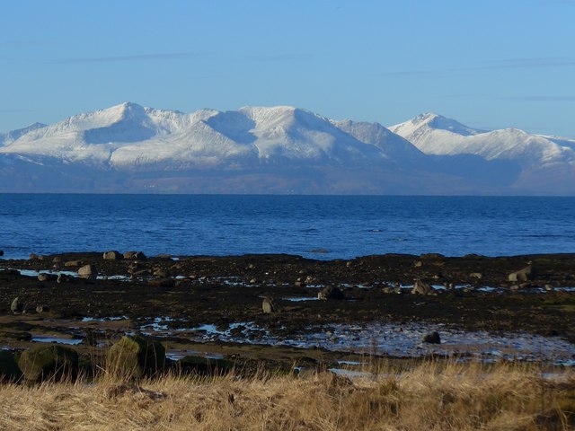
Image: © Gordon Brown Taken: 4 Feb 2015
Snow-clad Arran is looking superb across the Firth. Goatfell, the highest peak, is the one on the left.
Images are licensed for reuse under creativecommons.org/licenses/by-sa/2.0
Image Location
Latitude
55.673973
Longitude
-4.850767