Farmland near Llanmadoc
Introduction
The photograph on this page of Farmland near Llanmadoc by Hywel Williams as part of the Geograph project.
The Geograph project started in 2005 with the aim of publishing, organising and preserving representative images for every square kilometre of Great Britain, Ireland and the Isle of Man.

There are currently over 7.5m images from over 14,400 individuals and you can help contribute to the project by visiting https://www.geograph.org.uk
Farmland near Llanmadoc
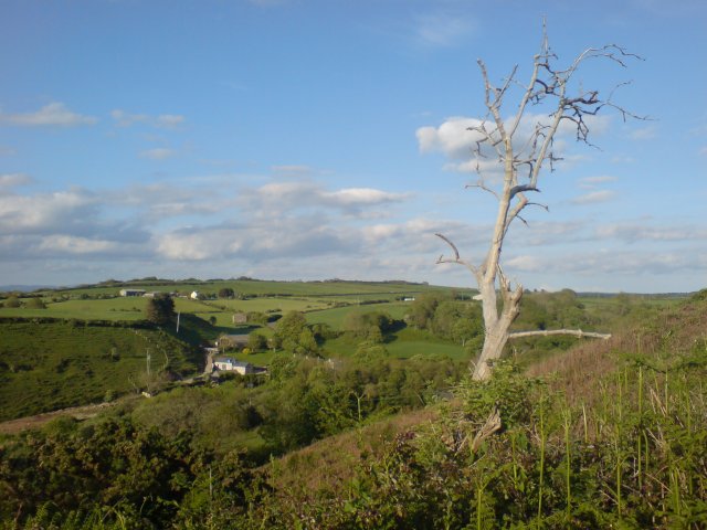
Image: © Hywel Williams Taken: 14 May 2007
The gently rolling hills of the North Gower.
Images are licensed for reuse under creativecommons.org/licenses/by-sa/2.0
Image Location


Leaflet Map data © OpenStreetMap
Latitude
51.615205
Longitude
-4.241862