Friary Park, Sleaford Road, Newark, Notts.
Introduction
The photograph on this page of Friary Park, Sleaford Road, Newark, Notts. by David Hallam-Jones as part of the Geograph project.
The Geograph project started in 2005 with the aim of publishing, organising and preserving representative images for every square kilometre of Great Britain, Ireland and the Isle of Man.

There are currently over 7.5m images from over 14,400 individuals and you can help contribute to the project by visiting https://www.geograph.org.uk
Friary Park, Sleaford Road, Newark, Notts.
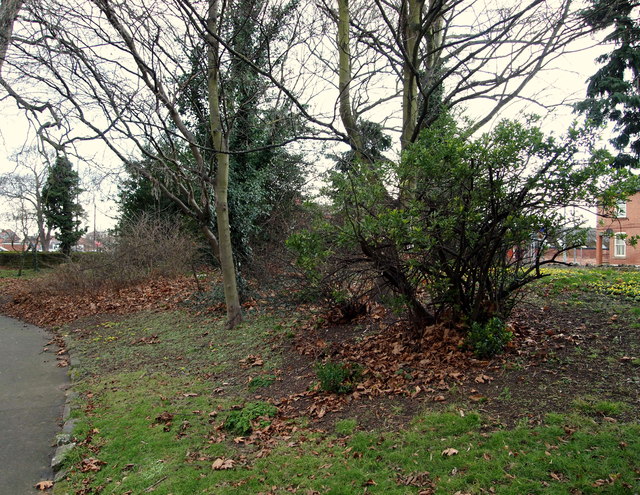
Image: © David Hallam-Jones Taken: 1 Feb 2015
With Sleaford Road beyond the stone wall on the photographer's right, and looking in the direction of Queen's road (towards the town centre), these are remains of ramparts and ditches that formed part the north-eastern corner of Newark's Civil War town defences (1642-46). Where the ground slopes upwards to meet the wall it has been suggested that the height of these earthwork defences could have measured between 8-12 metres.
Images are licensed for reuse under creativecommons.org/licenses/by-sa/2.0
Image Location
Latitude
53.078379
Longitude
-0.803651