Wether Hill
Introduction
The photograph on this page of Wether Hill by Anne Burgess as part of the Geograph project.
The Geograph project started in 2005 with the aim of publishing, organising and preserving representative images for every square kilometre of Great Britain, Ireland and the Isle of Man.

There are currently over 7.5m images from over 14,400 individuals and you can help contribute to the project by visiting https://www.geograph.org.uk
Wether Hill
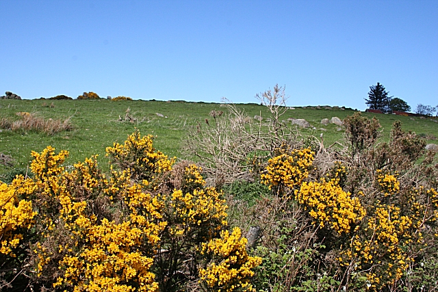
Image: © Anne Burgess Taken: 14 May 2007
The maps show archaeological sites all over this hillside. The 1904 map has dozens, and numbers decrease steadily until the contemporary map simply says 'field system'. I presume that the patches of stones are what are described as 'hut circles' on the 1:50,000 map I was using.
Images are licensed for reuse under creativecommons.org/licenses/by-sa/2.0
Image Location
Latitude
57.572105
Longitude
-2.722896