Crab House Farm
Introduction
The photograph on this page of Crab House Farm by Gordon Hatton as part of the Geograph project.
The Geograph project started in 2005 with the aim of publishing, organising and preserving representative images for every square kilometre of Great Britain, Ireland and the Isle of Man.

There are currently over 7.5m images from over 14,400 individuals and you can help contribute to the project by visiting https://www.geograph.org.uk
Crab House Farm
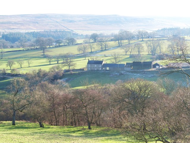
Image: © Gordon Hatton Taken: 3 Feb 2015
Stone built farmhouse with barns situated on the south side of the River Burn in hill country to the west of Masham.
Images are licensed for reuse under creativecommons.org/licenses/by-sa/2.0
Image Location
Latitude
54.217184
Longitude
-1.751843