Former Tin Methodist Chapel at Brilley Mountain
Introduction
The photograph on this page of Former Tin Methodist Chapel at Brilley Mountain by paul wood as part of the Geograph project.
The Geograph project started in 2005 with the aim of publishing, organising and preserving representative images for every square kilometre of Great Britain, Ireland and the Isle of Man.

There are currently over 7.5m images from over 14,400 individuals and you can help contribute to the project by visiting https://www.geograph.org.uk
Former Tin Methodist Chapel at Brilley Mountain
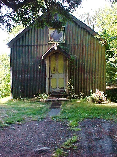
Image: © paul wood Taken: 23 Sep 2003
Images are licensed for reuse under creativecommons.org/licenses/by-sa/2.0
Image Location
Latitude
52.152559
Longitude
-3.074672