Rehabilitation Centre, Bowley Close
Introduction
The photograph on this page of Rehabilitation Centre, Bowley Close by Robin Webster as part of the Geograph project.
The Geograph project started in 2005 with the aim of publishing, organising and preserving representative images for every square kilometre of Great Britain, Ireland and the Isle of Man.

There are currently over 7.5m images from over 14,400 individuals and you can help contribute to the project by visiting https://www.geograph.org.uk
Rehabilitation Centre, Bowley Close
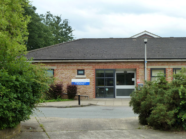
Image: © Robin Webster Taken: 23 Jul 2011
An NHS facility for amputees and those with similar problems. It is built on part of the site of Crystal Palace (High Level) station.
Images are licensed for reuse under creativecommons.org/licenses/by-sa/2.0
Image Location
Latitude
51.421529
Longitude
-0.078363