NNE through Heol Keir Hardie, Penywaun
Introduction
The photograph on this page of NNE through Heol Keir Hardie, Penywaun by Jaggery as part of the Geograph project.
The Geograph project started in 2005 with the aim of publishing, organising and preserving representative images for every square kilometre of Great Britain, Ireland and the Isle of Man.

There are currently over 7.5m images from over 14,400 individuals and you can help contribute to the project by visiting https://www.geograph.org.uk
NNE through Heol Keir Hardie, Penywaun
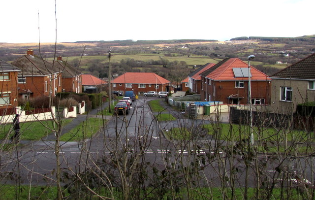
Image: © Jaggery Taken: 31 Jan 2015
Heol Keir Hardie is aligned west to east in a looplike course extending for 450 metres, north of Hirwaun Road and east of Gwladys Street. The road ahead is from the southern edge of the loop to its northern edge.
Images are licensed for reuse under creativecommons.org/licenses/by-sa/2.0
Image Location
Latitude
51.72944
Longitude
-3.479452